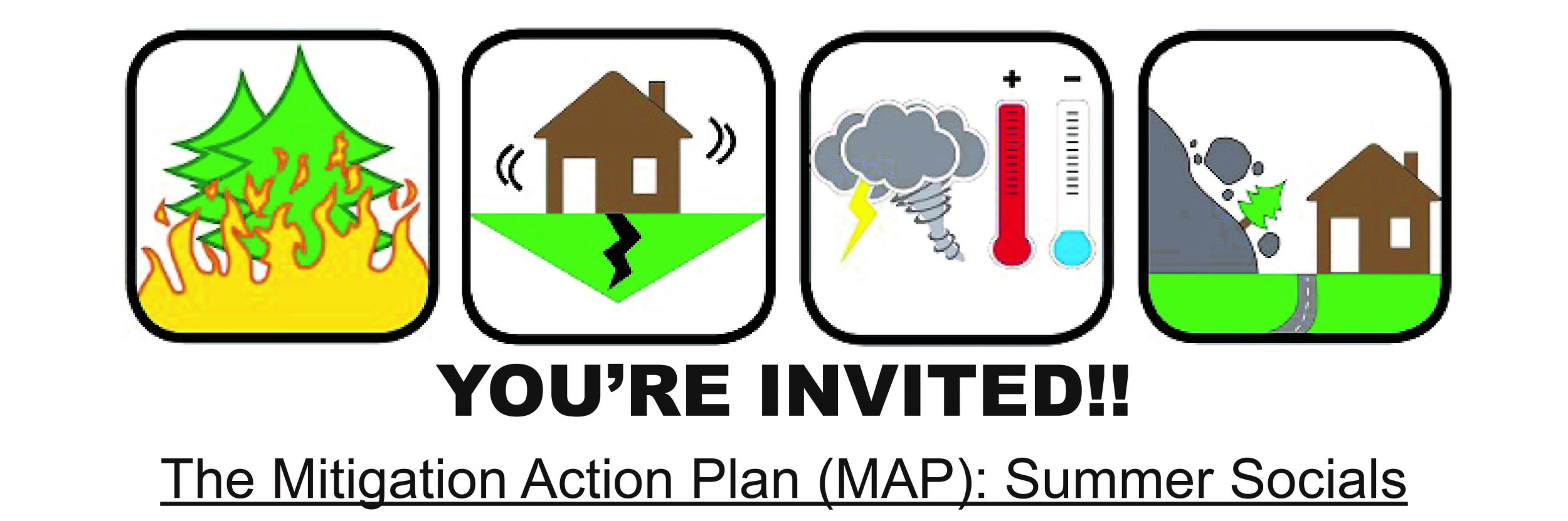
Mitigation Action Plan (The Map)
The MAP is the city’s plan to reduce our risks from hazards like floods, landslides, and earthquakes. It tells us how hazard events might affect our city, and the ways city offices plan to reduce those impacts. We want to talk to you about the plan and hear what you think!
Summer Social NW
August 16th
6:00 – 8:30 pm
Wallace Park
This will be a very informal, open-house type event. Activities like a liquefaction shake table, and an erupting papier-mache volcano, as well as maps showing the natural hazard risks in the city will be available. We want to bring people together to talk about some of the projects and programs listed in the draft plan, and if there are ways we could improve the plan to better serve the needs and priorities of people in Portland. And of course, there will be snacks!
Translation is available if you let us know one week in advance.
Why should you attend The MAP Summer Socials?
- Learn about your risks from floods, landslides, and earthquakes!
- Learn what city offices are doing to reduce our risk – and how you can help!
- Talk to city Emergency Management staff about how to get prepared.
- Make friends and connect with your neighbors.
- There will be snacks, an erupting (pretend) volcano, and kids are welcome!
The draft Mitigation Action Plan (MAP) is now open for public comment through September 15th, 2016! To comment, visit the PBEM website or you may download it directly by clicking here. Hard copies of the plan (excluding appendices) will be available for review 08/03/16 at:
- Central Library, 801 SW 10th Avenue
- Midland Library, 805 SE 122nd Avenue
- North Portland Library, 512 N Killingsworth St.
Please direct all comments to TheMAP@portlandoregon.gov.
Contact Info: TheMAP@portlandoregon.gov
503.823.3926